
Aerial photography and video for properties, locations and wider views of a project.
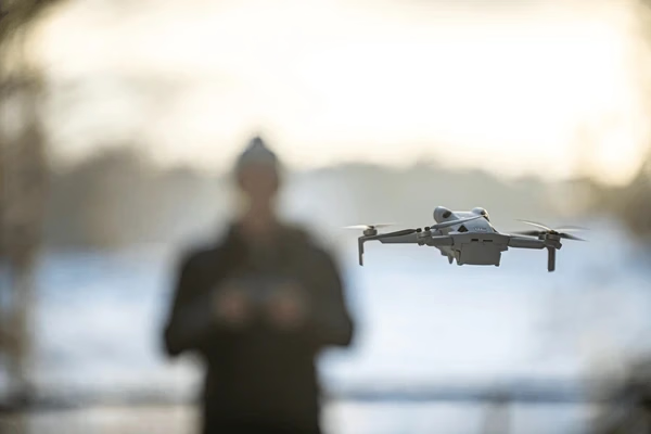
We assess the site, airspace, weather and permitted operation before confirming a shoot.
Show the wider setting
Aerial views can help explain a property’s surroundings, access, scale or relationship to nearby features.

Plan useful views
Agreed angles and movements should support the story rather than collect footage without a clear use.

Photo and video deliverables
Still photographs and edited aerial sequences have different capture and delivery requirements, defined in the brief.
Site and flight assessment
Location, airspace restrictions, permissions, weather and operational limits determine whether the planned work can proceed.
Coordinate ground content
Aerial imagery can be combined with ground photography or video where included in the production plan.
Editing and delivery
Selection, colour treatment, video length and export formats are agreed for the intended website, listing or campaign.
Plan the aerial work
Share the exact location, desired views, usage, access contact and dates. Include known site restrictions and any related ground capture needs.
Discuss the location
We will assess feasibility and plan a suitable capture window before confirming the production scope.

Make room for your next idea.
Explore the scope of this service and adjust it to your project. Prices are illustrative; your final quote is confirmed after review.


See what we’ve done.
Loading projects…


